06.24.2011 | 09.11.2011
MAPPING A PRAIRIE CITY: LETHBRIDGE AND ITS SUBURBS
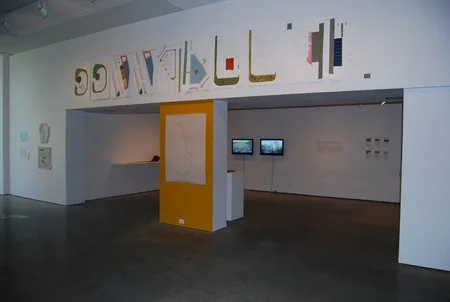
Mapping a Prairie City: Lethbridge and its Suburbs is an exhibition of discovery. It is an exhibition about a place, Lethbridge, Alberta, as seen through a range of critical lenses from cartography and sociology to urban design and architecture. It is about the innumerable people invested in this city whose experiences and efforts continually shape its identity as one that is complex, fluid and diverse, despite a facile reputation as being another generic example of a sprawling urban centre.
The Lonely Planet Guide to Western Canada writes that, “Lethbridge is very spread out and there’s nothing particular to draw you to it, but doesn’t make for a bad stopping point on a long day’s drive.” It’s hard not to be discouraged when hearing your home described as, “…chain-store-infested,” or that it could be, “Anywhere, North America” although there it is, in print, in the most renowned guidebook on Canada found in virtually every hostel, library, bookstore and now Internet-accessible computer, around the world. Of course, for anyone who has ever spent time in Lethbridge, this description feels superficial and misinformed, but to some extent, true. It is reason to examine this city’s identity as one that, like any individual, is many things at once; Lethbridge is in perpetual flux, shaped through mutually dependent relationships and with formative forces in play from local interest groups to regional ecologies. It follows that inherent to each of these relationships is a potential avenue to influence the future of Lethbridge and to consider alternative models of what a prairie city can be, and more, how people can live and act within it.
Mapping a Prairie City: Lethbridge and its Suburbs showcases a variety of responses to the identity of small prairie cities. Central to the exhibition is the invitation to artists and arts professionals that either live in or have visited Lethbridge to submit a mapped response to an experience had within the city. These contributions will be installed either physically, digitally through interactive maps, or published in the winter 2012 edition of the journal On Site themed on Rural Urbanism. In addition, the exhibition will feature films, archival material, panels, workshops and an array of externally sited projects done in collaboration with Field Notes Collective, a local initiative comprised of artists and scientists. Emerging from dynamic intersections in their research and creative practices, these projects have evolved through conversation and field trips to artist studios, research stations, laboratories, rangelands and parks. Combining aesthetic gestures with scientific methodology many of these projects are responsive to political and economic pressures that affect public policy and quality of life in the city, while raising questions related to land use, collaboration and place.
Mapping a Prairie City: Lethbridge and its Suburbs is organized by the Southern Alberta Art Gallery with funding by the Canada Council for the Arts, the Alberta Foundation for the Arts and the City of Lethbridge. Curated by Don Gill and Ryan Doherty.